The Kamakura Trail: Hiking Through Bamboo in Japan’s Ancient Capital
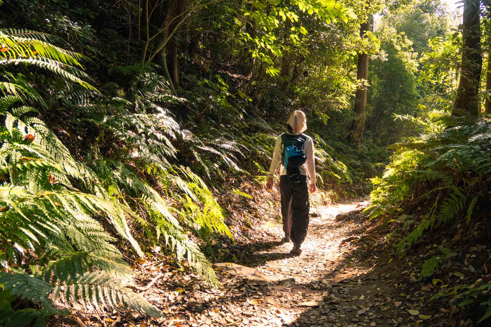
This trail lies right in the heart of the urban sprawl, crossing the border of Yokohama and Kamakura. And yet it feels as though you’ve stepped onto a remote mountain trail—polished yet rugged, and with a vast network of trails.
To prove my point: A friend I took here thought we were just going for a lovely stroll around Kamakura, but he was pleasantly surprised to have hiked on an “actual” trail. (I do admit I probably should have warned him about the terrain beforehand.)
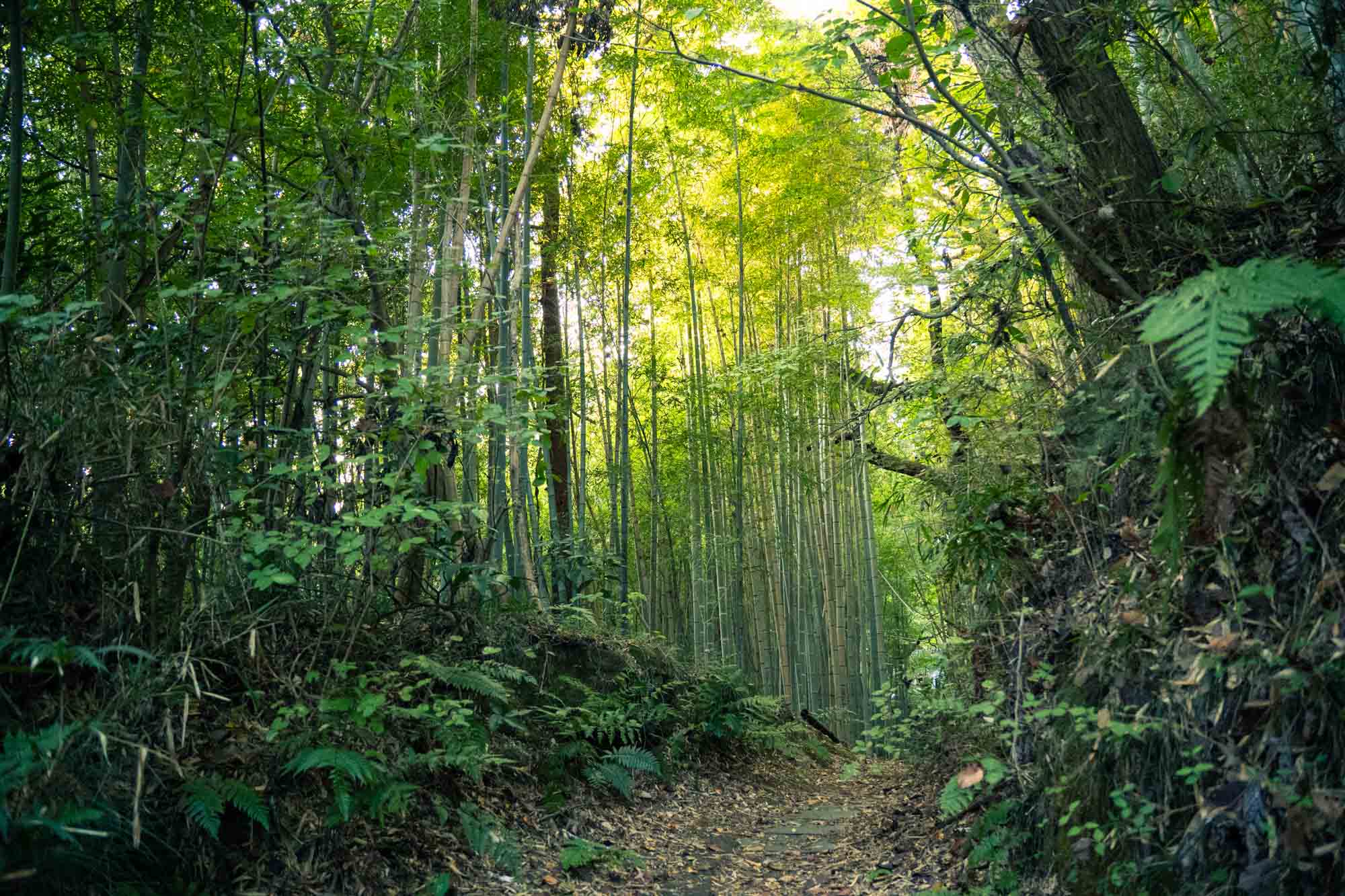
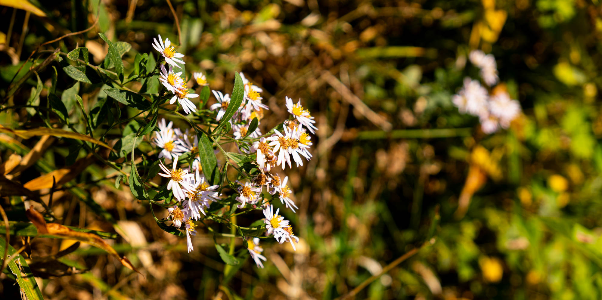
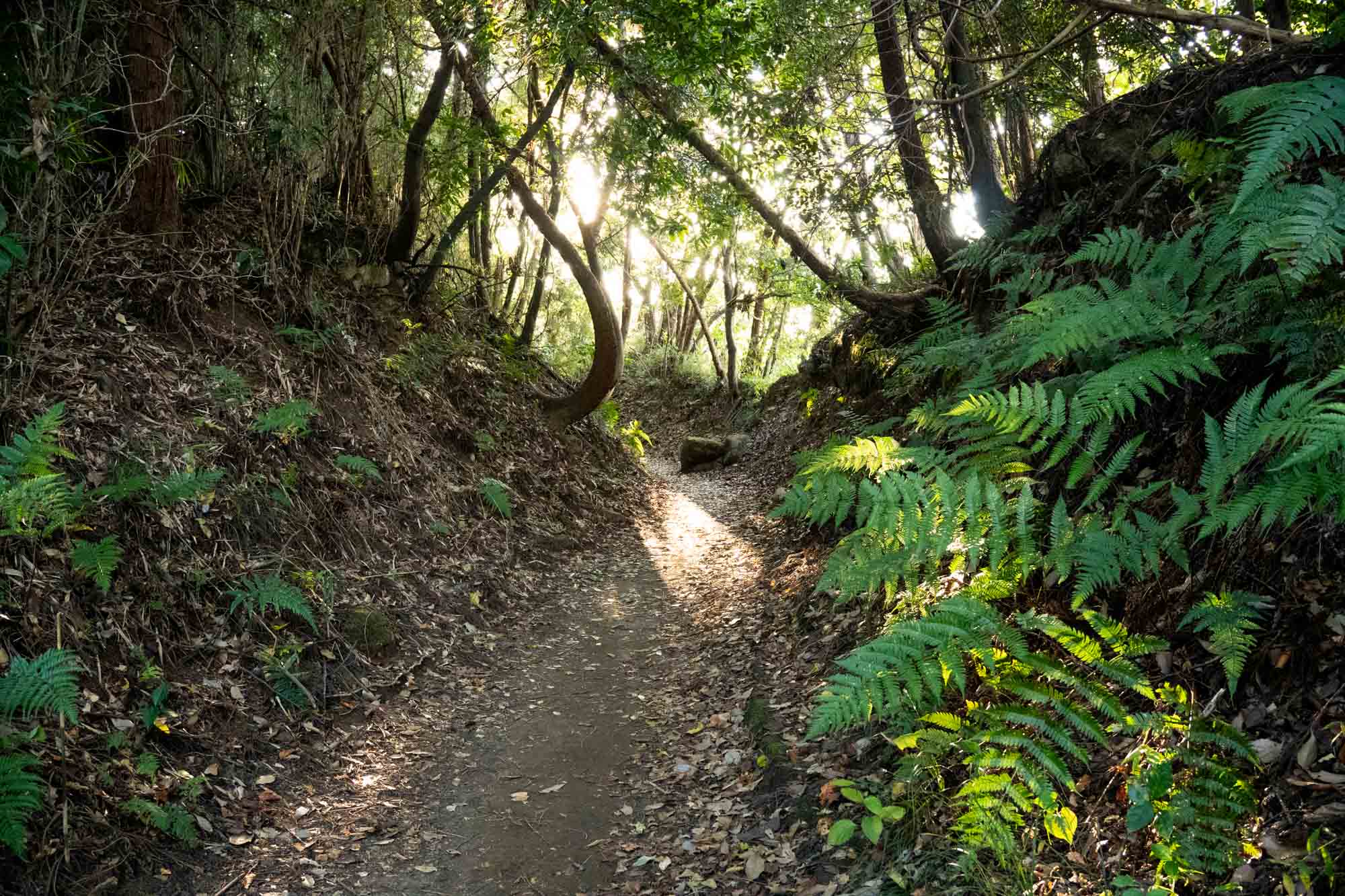
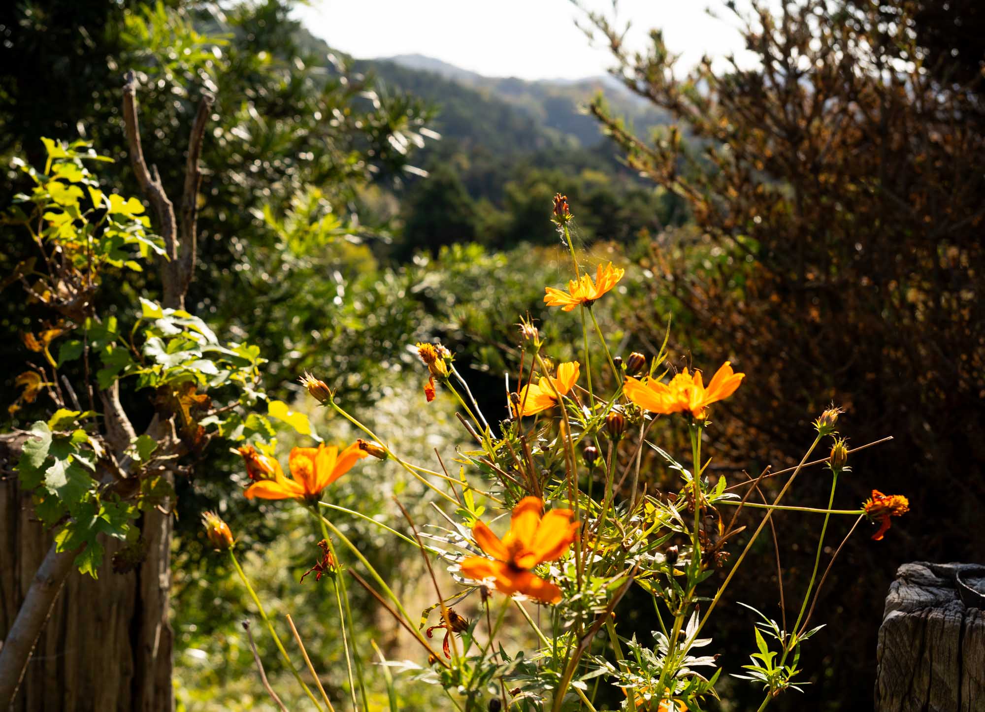
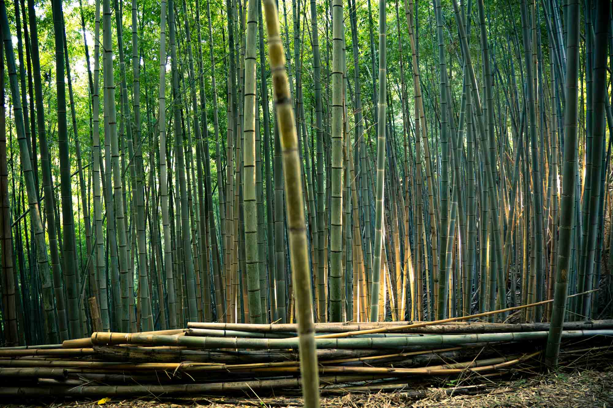
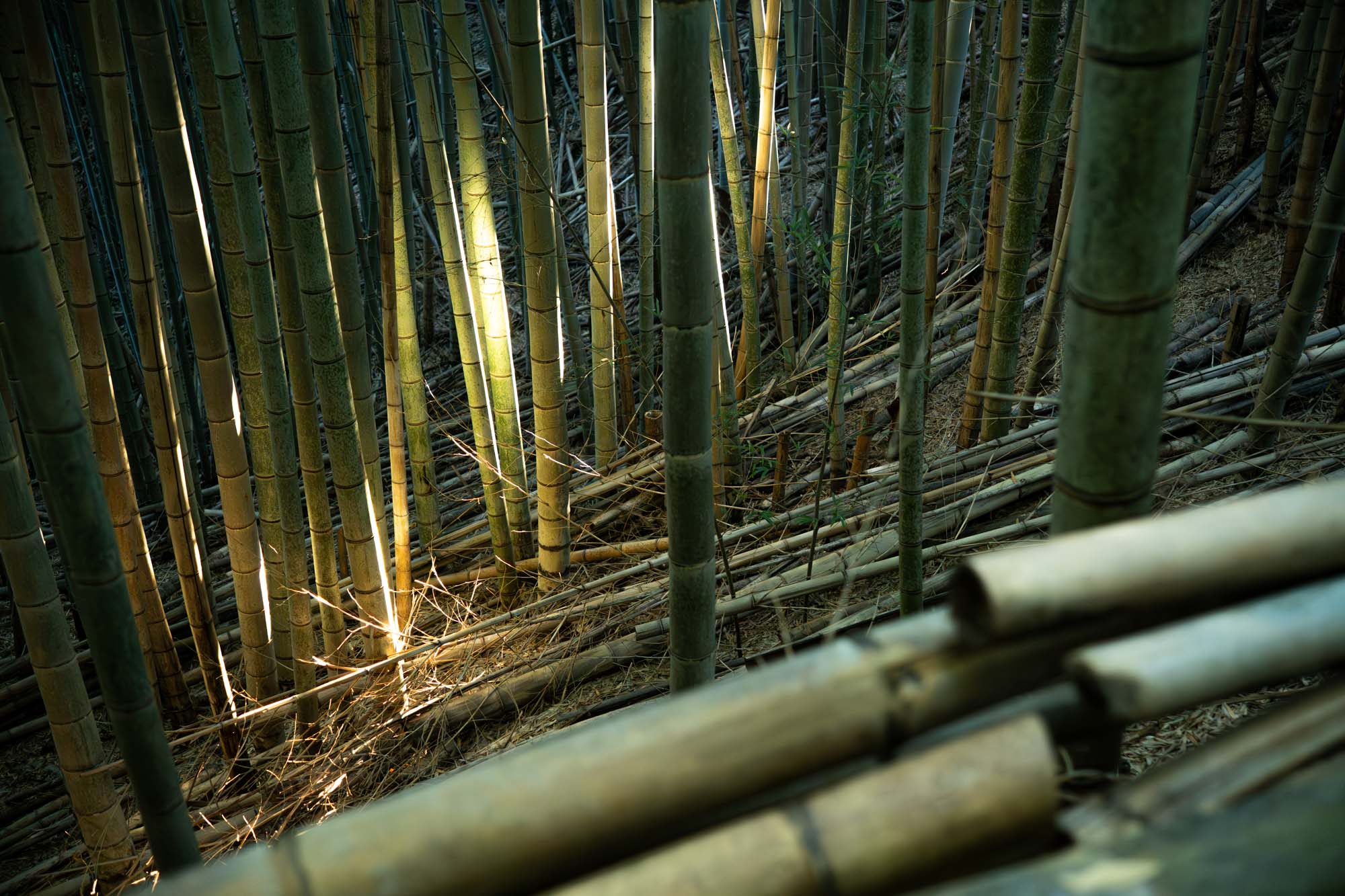
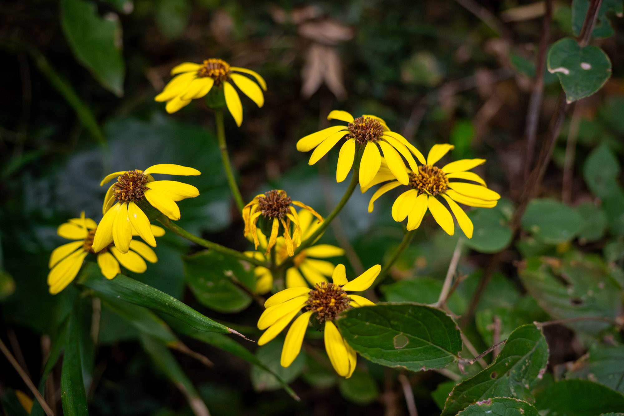
The route is teeming with flora and fauna—ferns, wildflowers, bamboo groves, and tons of squirrels hanging around—but they move like ninjas, so I couldn’t manage to take a decent photo of them during this hike.
This has easily become my go-to trail when I want to get a long training run in without the stress of heading into actual mountain territory. It’s also where I bring friends who just want to go for a relaxing hike, since it’s accessible for all skill levels.
The route
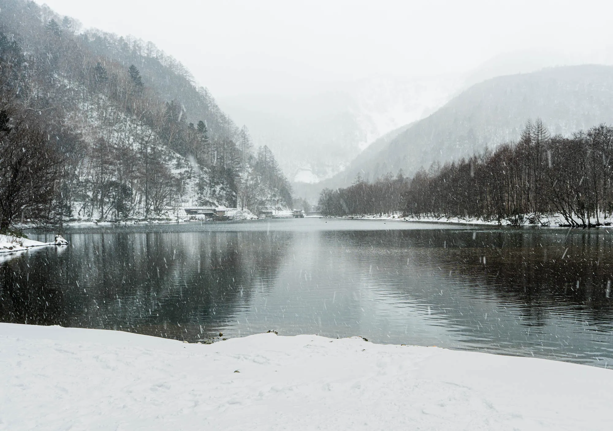
The whole route spans about 20 kilometers long, stretching from Konandai Station all the way to the coast at Enoshima. On this trip, however, I took a detour at Kita-Kamakura Station and headed down to Kamakura Station instead, since it was already getting a little too dark.
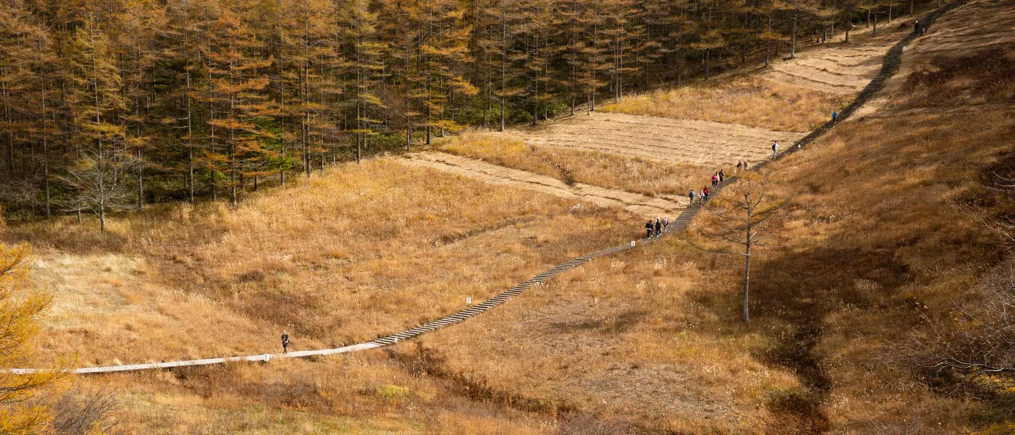
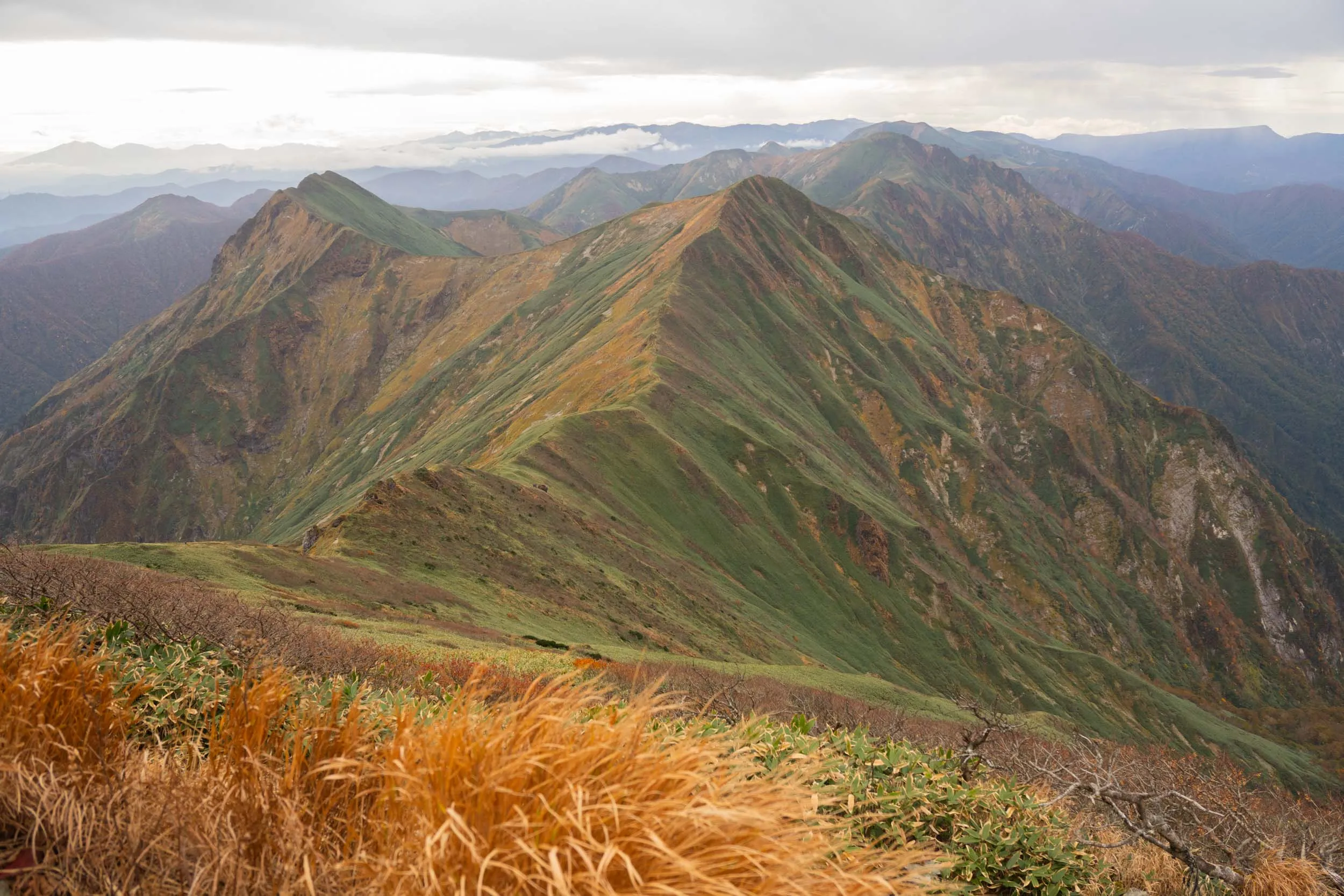
With only around 400 meters of elevation gain and loss, you’ll be flowing through the gentle rolling hills of the Kamakura Alps.
You can download this GPX track I saved on Coros.
Getting there
Take the JR Keihin-Tohoku Line/Negishi Line to get to Konandai Station. From there, you’ll have two options to get to the trailhead:
-
Walk for about 20 minutes from the station to the trailhead (directions below): https://maps.app.goo.gl/JGgoboMwuJHpqRJP8
-
Take a bus from Konandai Station to Konan-kankyo Center Mae, which is close to the trailhead. The bus ride takes about 10 minutes.